Haiti Satellite Images Help Earthquake Aid Efforts

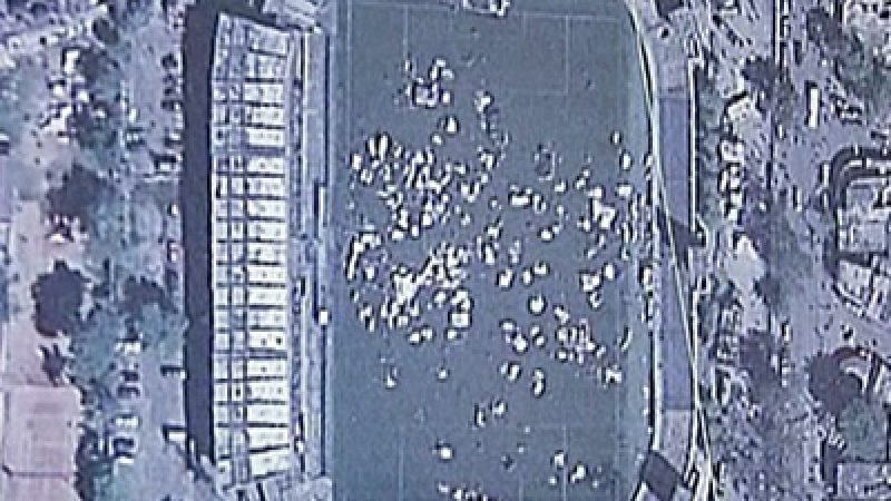
Detailed satellite images of Haiti’s devastated areas are enabling scientists worldwide to gather information and make damage assessments in hours, rather than days. The first analysis of the Haiti disaster zone was available within 24 hours.
[Representative of Image Cat]:
„Well, ‚Image Cat‘ by nature is Image Catastrophe and what we do is pull together all of these different information sources coming from satellite, from aerial, from ground-based and through the Internet. What we’re doing is providing, I guess, an interpretation of what’s happening on the ground for the benefit of the greater good, really quickly. So, in this particular instance, in 24 hours we had teams of analysts all around the world, Europe, the U.S., looking at the damage, assessing the damage, and then sending it back out to help the Haitian people.“
Image Cat, located in England, is working with the World Bank and top university teams to analyze data gathered from the before and after satellite photographs of the earthquake zone.
The analysis enables aid agencies to pinpoint exactly where to send relief, and start the process of rebuilding communities in Haiti.
In the meantime, earthquake victims continue to receive aid as relief teams on the ground provide food, medical aid and shelter.
 (NTDTV)


![SPD-Bundesparteitag: Reden von Scholz und Klingbeil zur bevorstehenden Wahl [Livestream]](https://images-de.epochtimes.de/uploads/2025/01/Thumb-SPD-Bundesparteitag-v2-400x225.jpg)


vielen Dank, dass Sie unseren Kommentar-Bereich nutzen.
Bitte verzichten Sie auf Unterstellungen, Schimpfworte, aggressive Formulierungen und Werbe-Links. Solche Kommentare werden wir nicht veröffentlichen. Dies umfasst ebenso abschweifende Kommentare, die keinen konkreten Bezug zum jeweiligen Artikel haben. Viele Kommentare waren bisher schon anregend und auf die Themen bezogen. Wir bitten Sie um eine Qualität, die den Artikeln entspricht, so haben wir alle etwas davon.
Da wir die Verantwortung für jeden veröffentlichten Kommentar tragen, geben wir Kommentare erst nach einer Prüfung frei. Je nach Aufkommen kann es deswegen zu zeitlichen Verzögerungen kommen.
Ihre Epoch Times - Redaktion